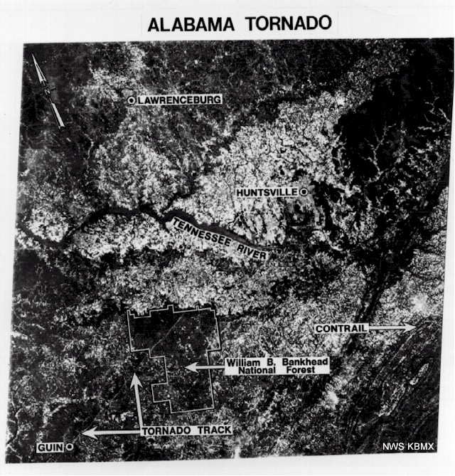
A satellite image showing the damage path through Guin itself and the Bankhead National Forest.
Credit: NOAA
F5 Tornadoes: The Chronology – Part II
A satellite image showing the damage path through Guin itself and the Bankhead National Forest.
Credit: NOAA


